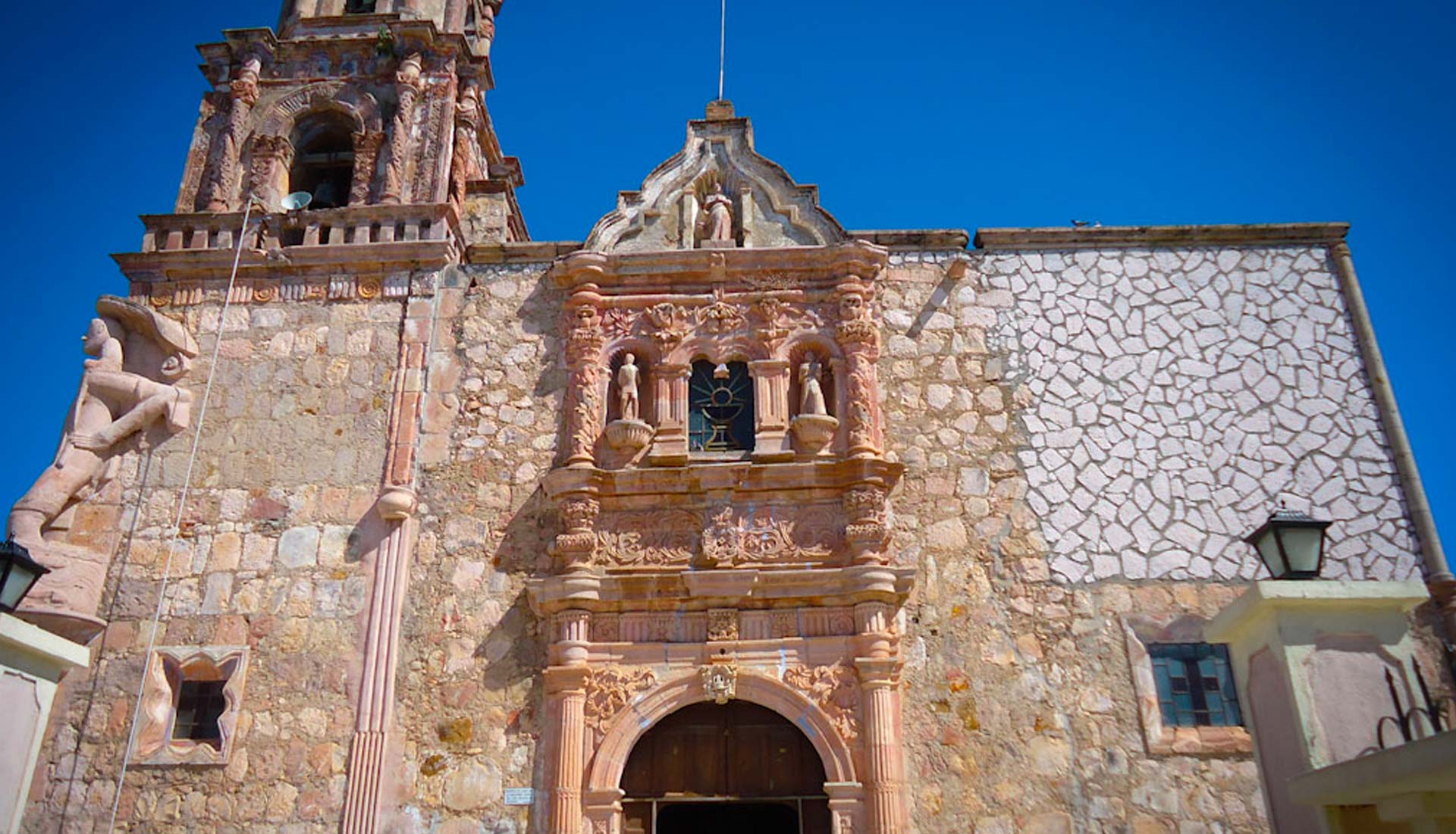
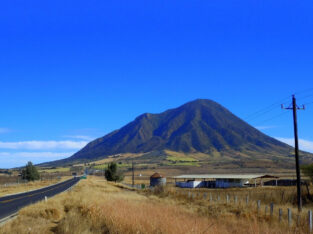
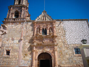
Come and Visit Huajicori in Nayarit
Huajicori, a municipality located in the heart of the Sierra Madre Occidental.
It is responsible for connecting Nayarit with the neighboring states of Sinaloa and Durango, with whom it shares, among other things, the indigenous people known as O’dam, also known as Tepehuan.
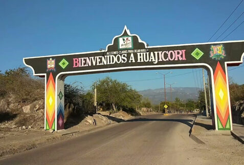
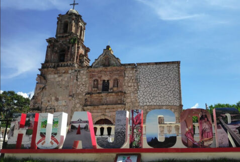
Its name comes from the term “Huaxi-imi,” synonymous with payol (peyote cactus), and “Huac,” which indicates “much peyote.”
Points of Interest
Distance from Tepic
Population
Altitude
Ideal if you enjoy
How to Get to Huajicori
Its geographical location places this municipality 152 kilometers from Tepic, the capital of Nayarit. You can get there by taking the road to Mazatán and then turning off into Acaponeta, where you’ll drive for an additional 30 minutes.
Huajicori's Gastronomy
In this municipality, beef is predominant, but you can also find dishes made from venison and others that include dairy products like fresh cheeses and jocoque.
Main Attractions
- La pila de los Monos (The Monkey’s Fountain)
An archaeological site where you can find petroglyphs and learn more about the ancient cultures of the region. - Fiesta de la Candelaria (Candelaria Festival)
As a result of evangelization, this town has found in the Virgin of Candelaria a symbol of faith that has gathered believers from different regions for over four hundred years, who venerate this figure every February 2nd. - Pueblo de San Andrés Milpillas (San Andrés Milpillas Village)
Located three hours from the municipal seat, this village is home to the O’dam, also known as Tepehuanos, who showcase their customs and traditions to visitors.
Climate in Huajicori
Being situated at 60 meters above sea level, this municipality primarily experiences humid climates in the lower regions, while in the Sierra Madre area, temperatures are cold, especially during the winter.


